Wyrallah Road closed with more flooding expected

Kate Coxall
03 February 2022, 1:07 AM
Yesterday we reported on the severe thunderstorms and large scale weather event predicted, with flooding possible due to a trough over western New South Wales that was drawing on the humid conditions over the North East of the state.
The Bureau of Meteorology (BoM) was spot on with 92mm recorded in Alstonville in just 24hrs to 11am today, 82mm was recorded in Tuckomobil and 72mm at Dawson St, Lismore.
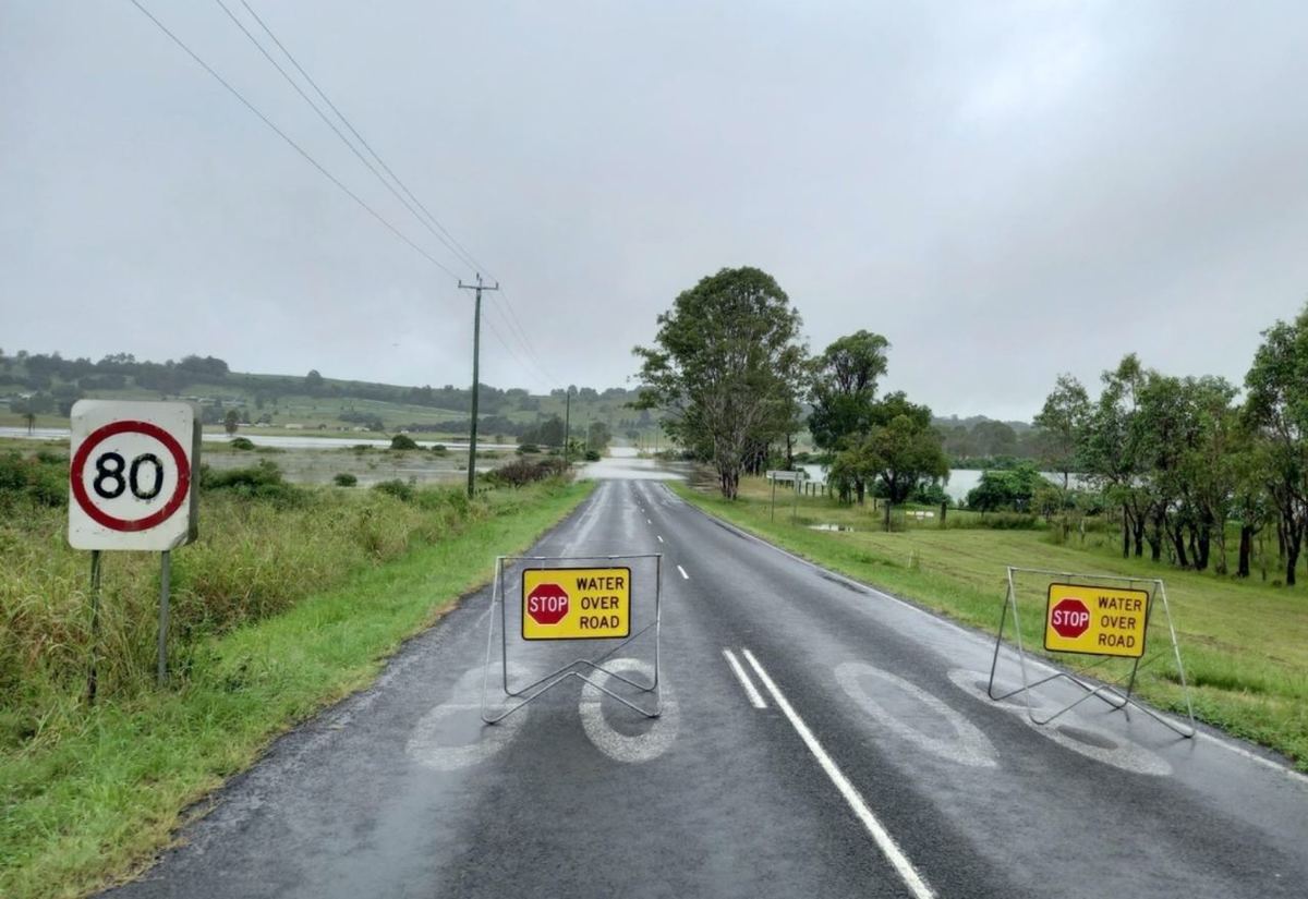
Lismore City Council has closed Wyrallah Road near the golf driving range.
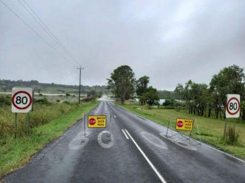
Other roads closed in the 2480 postcode include:
- Oakey Creek Road, Georgica
- Town Bridge Side Track, Town Road (off Terania Creek Road) The Channon
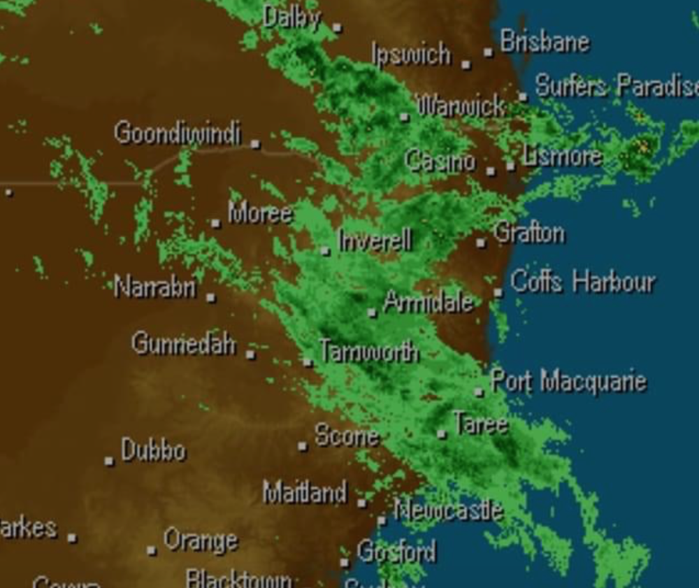
Image: The rainfall moving across the state in our direction today
The rain looks likely to last most of Thursday with normal La Nina weather patterns returning on Friday, the BoM predicting 0 to 6mm.
With the catchments waterlogged due to earlier storms and rainfall low lying roads are likely to be affected.
Catchments likely to be affected include:
Tweed and Rouse Rivers
minor to moderate flooding
Brunswick River and Marshalls Creek
minor flooding
Wilsons River
moderate flooding
Richmond River
minor to moderate flooding
As of 11:35am Wilsons River at Nashua is currently at 1.11m and steady, Macguire's Creek at Teven is 0.8m and steady, Wilsons Creek at Eltham is 2.535m and rising, at Lismore (Wilsons River) is below flood level and steady at 1.55m, 1.383m and rising at Corndale Bridge, 1.179m and rising at Repentance Creek, 2.546m at Woodlawn and steady.
BoM tells us there is a 95% chance of severe rain today with a chance of severe thunderstorms, so stay safe on the roads, don't dry through floodwaters and keep a watch on the Lismore SES page for updates.
The next floodwatch report from the BoM is due at 2 o'clock this afternoon.

