What happens behind the scenes when the weather turns ugly?
Lara Leahy
06 October 2024, 8:00 PM
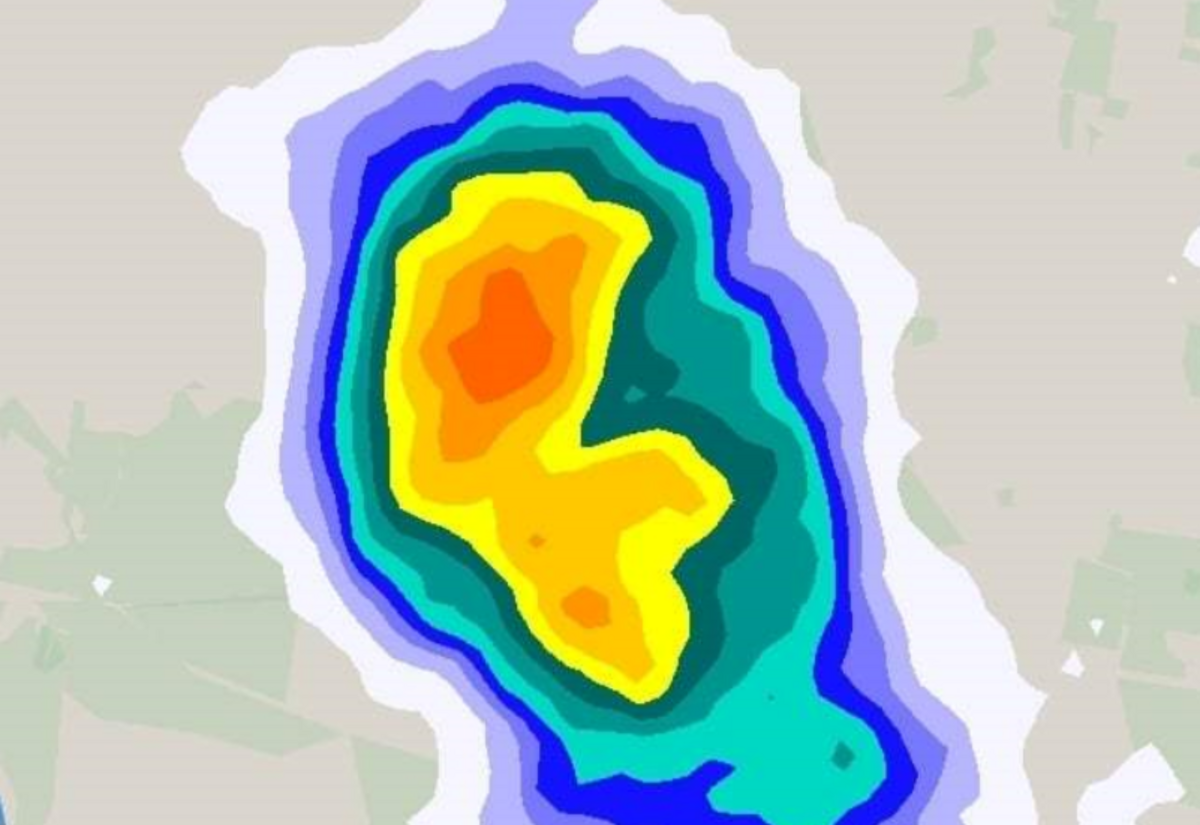
 Image Tagline - A storm cell builds more than a weather event in the sky…
Weather events, such as last weekend's 200mm and 5.97m minor flood, trigger a wide range of actions behind the scenes to ensure our safety and security.
After speaking with some of the key organisations who are involved in weather warnings and response, we get a unique glimpse of what this means and what is important to understand, especially now that another storm season is upon us.
As soon as a weather event has been identified, the SES works closely with the Bureau of Meteorology to fully understand the potential for the situation unfolding and prepare accordingly.
NSW SES Incident Controller Scott McLennan said, “I need to understand where the footprint of the next weather event is going to go.”
On the basis of this predictive information and the situation unfolding on the ground, as in actual rainfall and river heights, warnings are issued. Scott said, “One of the struggles that we had on the weekend, we knew it was going to be a short, sharp storm event, and it's sometimes better to err on the side of caution and warn a community because community lives matters.
“I want to ensure that the community are alert, not alarmed. Community are warned and making those really good decisions in a timely manner.
“We start here by pre-positioning different assets.”
The SES coordinate all manner of safety and security measures for the community.
“Sometimes that includes a COW (Cells on Wheels used as an emergency communication device), sometimes satellite dishes, rescue techs and vehicles."
These assets can be brought here from different regions around the state or set up ready to be used as soon as needed.
Last weekend, Scott said he positioned a helicopter based at Coffs Harbour “Because of the winds, I knew they couldn't necessarily fly. But it's trying to work out where the footprint was and it became onshore and stayed.”
A flood study is done around every five years to assess the flood height levels used to measure what a minor, moderate, or major flood looks like. However, these levels are based on historical data and rarely change. Moreso, they give the people looking at the data a clearer understanding of the current and potential situation to assist in determining if and when warnings should be issued.
“A flood study looks at vegetation changes, any new infrastructure that could impact the way the water flows,” says Scott.
“It looks at heights, and it always looks at worst-case scenarios. All the flood plans across New South Wales are available online. You can see them on your council website.
“There is one flood level called a PMF, and that's the Probable Maximum Flood. That's the highest the data shows that a flood could possibly get to, and in 2022, we weren't at that point.”
Community groups have become a vital resource for flood response and recovery.
Scott says, “Community led recovery is really at the forefront of having a strong, vibrant, connected community, not just in times of war, but in times of peace.
“This whole event that communities actually respond and recover from are far greater and become more adaptable in time, if they do it themselves with the right support.”
Communication capabilities were a large concern in the bushfires and 2022 floods. Since then, the technology on the ground has been increasing.
The NSW Telco Authority (NSWTA) are making COW acquisitions to add them to the network of resources available to us.
A spokesperson for the Telco Authority said, “NSWTA is acquiring four broadband COWs which will be deployed to provide wi-fi during emergencies when communities experience a carrier outage. They can be activated during or after a disaster to assist in recovery efforts.
“NSWTA will work with Emergency Services Organisations (ESOs) and other NSW Government agencies to deploy these COWs during emergencies to support impacted communities.
“Deployment decisions are based on intelligence from NSWTA, telecommunications carriers, ESOs and other operational requirements.
“Each asset can provide wi-fi coverage up to 500 metres away, while units can be linked to cover an even wider area.
“The COWs will be strategically positioned to support communities in need, such as at evacuation and recovery centres, where on-the-ground teams will conduct outreach and guide people on how to access the service.”
The finance from the STAND program for the bushfire funding in 2022 went towards outfitting low-orbit satellite dishes to certain locations to provide people with connectivity in an emergency.
These went to a variety of organisations, Scott said, “Some were on evacuation centres, some were at RFS sheds, and some were in SES sheds and other different types of locations.
“About 160 or 170 were distributed across New South Wales, and that included the Northern Rivers.”
More recently, some LGAs (local government areas) have provided other community groups with similar low-orbit satellite dishes.
The bottom line is that it is worth knowing who and where your local community group is for times when you need communication assistance.
Resilient Lismore, the Red Cross, and CWA are a few organisations that you can contact and become more familiar with to help with your personal preparation for emergency situations.
JOB AGENCIES

