What a glorious weekend but the weather is about to turn

Simon Mumford
25 April 2021, 9:17 PM
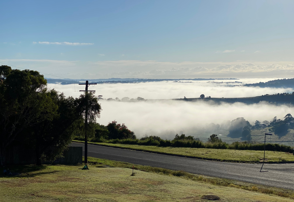 ANZAC Day weather at 7:30am looking north from Lismore Heights. Photo: Simon Mumford
The autumn weather has been picture perfect of late with blue skies and temperatures in the early to mid-twenties. However, that is all about to slowly change in the coming days.

Helen Kirkup from the Bureau of Meteorology told the Lismore App that we'll get some increasing cloud today that will bring some scattered showers into tomorrow with an increased chance of rain as the week rolls on.
(The weather map for Monday from the Bureau of Meteorology)
We have had the pleasure of a large high sitting centred over NSW which has meant picture-perfect autumn days albeit with our first look at some cooler mornings for a while.
The westerly winds that have been responsible for our sunshine will begin to swing around to the southeast which will bring the increased chance of rain this week.
The good news we are only looking at 1mm today and under 5mm on Tuesday but as the week progresses the chance of rain increases. Wednesday and Thursday should see between 6 and 10mm while Friday could have around 15mm falling in our region.
While a little rain is good for our gardens, it does look like hanging around for a while but the showers will be sporadic so rain then sun, rain then sun.
Along with the cloud and rain will be increased minimum temperatures, they should be above 10 once again.
Make sure the umbrella is in the car.

