Wettest three months on record hit 2022

Simon Mumford
03 April 2022, 8:11 PM

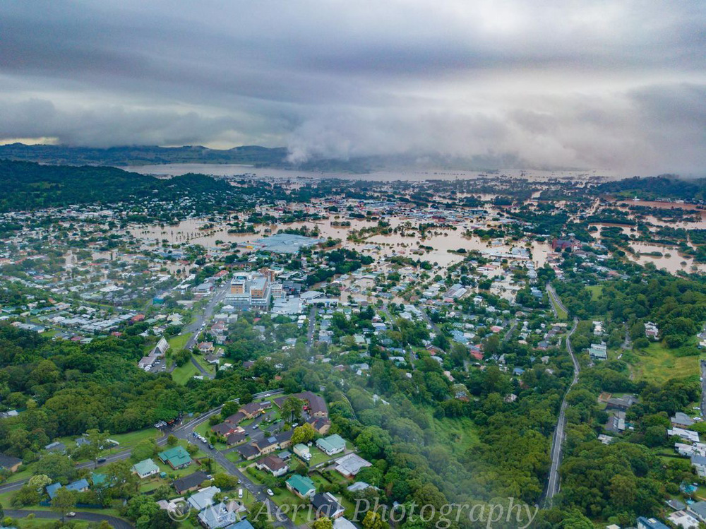
As the Lismore community returns to cleanup phase after our second major flood in a month, people have been contacting the Lismore App and asking about how much rainfall we have seen in our region and its comparison to other years.

The following data has been sourced from the Bureau of Meteorology for the last decade between 2013 and 2022. All numbers were recorded at the Lismore Airport except for 2022 when the airport gauge was damaged and has not be active since February 28 and all of March. We then turned to the nearest rain gauge which is at Tuncester 4.8km away. It should be noted that this will influence the 2022 numbers.
The average rainfall for the first three months of the year at the Lismore Airport are:
January = 147.6
February = 147.2
March = 182.6
TOTAL = 477.4

The first three months of 2022 are the wettest at the Lismore Airport since records began in 2002. It is more difficult to get individual year rainfall records for Lismore from the BoM before this time but if you look at Nimbin's rainfall since 1904 with a small gap between 1908 and 1925, this was the wettest three months on record.
In Nimbin 1,526.8mm of rain fell for the first three months in 2022 with the previous wettest period 1,390.5 in 1931.
Merv has been a Northern Rivers local for the past 46 years and has kept daily records for the last 25 of those years, 20 in Bangalow and 5 in Modanville.
Merv's numbers are similar to the above table in terms of records but the overall total is higher.
2022
January = 27.65mm
February = 881.5mm
March = 670.5mm
TOTAL = 1828.5mm
Merv's annual total in 2021 was 1,840mm, 2020 total 1,676.5mm, 2019 852.5mm, 2018 1,062mm and 2017 2,446mm.
The wettest year was 1999 when 3,077mm was recorded and the driest 2019 with 852.5mm.
To give you an Australian perspective, the West Australian capital of Perth has recorded 4.6mm in the first three months of 2022!
Looking ahead, Lismore's wettest April was in 2009 when 223.8mm fell at the Lismore Airport while Nimbin's was 351.9mm in 1931.
The weather pattern for the past two summers has been influenced by a La Niña event.
The BoM have said the 2021/22 La Niña event has weakened slightly in the tropical Pacific over the past fortnight.
Climate outlooks indicate a return to neutral El Niño–Southern Oscillation (ENSO) levels—neither La Niña nor El Niño—late in the southern hemisphere autumn. Even as La Niña weakens, it may continue to influence global weather and climate.
As we approach mid autumn in the Northern Rivers the influence of La Nina has not left us just yet so more rain is likely.
SHOP LOCAL
