Real time traffic information arrives into NR's and put to the test
22 October 2022, 7:06 PM
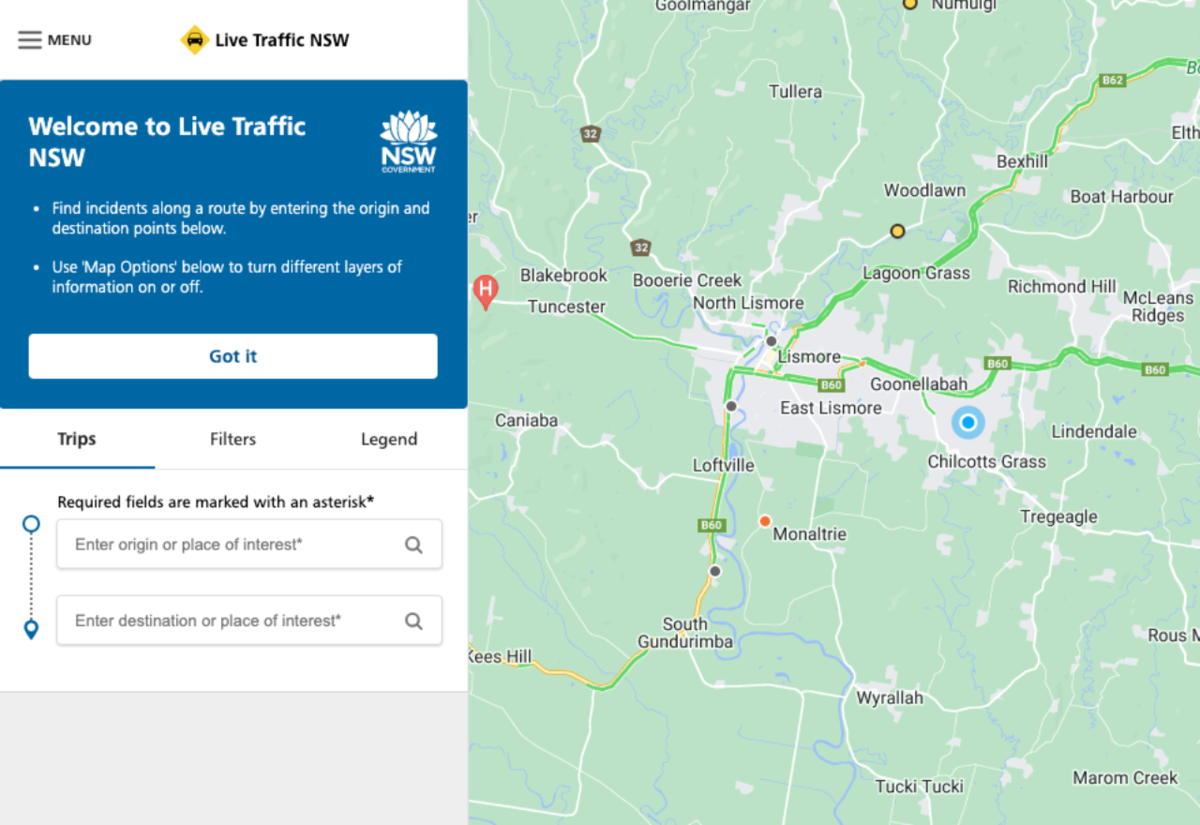 Screenshot of Live Traffic
With 80-150mm of rain forecast for today and a moderate to major flood watch for the Wilsons River released by the Bureau of Meteorology, the recently upgraded real-time traffic information on Live Traffic will be immediately put to the test.
The State Government announced the upgrade this week which affects local roads across 22 Local Government Areas (LGAs) in regional NSW including Lismore, Ballina, Byron and Richmond Valley.
Minister for Regional Transport and Roads Sam Farraway welcomed the launch of the first expansion to the Live Traffic NSW website, which will see the addition of local road information alongside any impacts on the state-managed road network.
“This marks a new era in traffic data, with regional motorists now armed with the latest information so they can make informed decisions in real-time,” Mr Farraway said.
“During emergencies like floods or bushfires, Live Traffic NSW will be the go-to for motorists to help them make informed decisions and travel safely.
“The new technology improves the reach and detail of information on Live Traffic NSW, which means we can provide more reliable data to more drivers.
“And there’s more to come. By 2024, we’re aiming to have Live Traffic capture every road across every council in the state.”
Called OneRoad, a backend portal into Live Traffic NSW allows councils to feed their data in so road impacts across local and state roads are in the one place.
The technology is a response to feedback from communities and recommendations from the Royal Commission into National Natural Disaster Arrangements Report. The initial 22 LGAs were chosen in consultation with the NSW Police, Rural Fire Service and NSW State Emergency Service.
The local councils onboarded in this first phase are: Ballina, Bellingen, Bega, Byron, Central Darling, Clarence Valley, Coffs Harbour, Gwydir, Inverell, Kempsey, Kyogle, Lake Macquarie, Lismore, Maitland, MidCoast, Moree Plains, Nambucca Valley, Port Macquarie Hastings, Richmond Valley and Tamworth.
LGAs will continue to come on board in stages, with the priority given to the regional councils that have been impacted most by bushfires and floods.
Live Traffic NSW data is available on the Transport for NSW Open Data Hub for third-party apps like Google Maps, Apple Maps, Waze and TomTom.