Possible heavy rain and thunderstorms start tonight for three days

Simon Mumford
11 February 2026, 6:57 PM
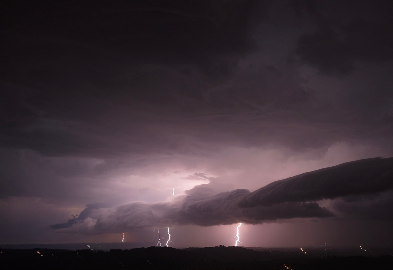 A thunderstorm over Lismore in November 2025
As we know, February and March are the peak storm season months for Lismore and the Northern Rivers, and so far, conditions have been mild.
We are about to get our potential first taste of heavy rainfall and thunderstorms since October, which may lead to flash flooding for three consecutive days.
To date, February has produced 21mm of rain, while January spat down a miserly 6mm at the Lismore airport.
We have to go back to the 23rd of December 2025 for a one-day total of 51mm, and the 29th of October 2025, when 70mm fell.
The Bureau of Meteorology (BoM) has forecast a wide range of rainfall totals as a cold front moves northeast and mixes with a humid air mass, which is making its way southeast.
The result is approximately 29mm as the minimum scenario across Friday, Saturday and Sunday. However, if the thunderstorm activity does occur, it could bring localised heavy falls that could dump 180mm as a maximum potential at this stage over the three days.
It is difficult to forecast the exact locations of the thunderstorms this far out, but they will become clearer as the two weather systems converge this evening.
The NSW SES are asking residents to prepare for thunderstorm activity as a precaution by:
- Tying down loose items outside their homes
- Clearing gutters and trim any overhanging branches
- Move your car undercover or away from trees and powerlines
- If you come across a flooded road, turn around and find an alternative route. Steer clear of floodwater.
- If you require assistance in floods or storms, call 132 500. In life-threatening emergencies, call Triple Zero (000).
The Lismore App will update weather warnings if they are issued by the BoM, or you can download the Hazards Near Me app.

