NSW SES says prepare for more heavy rain

Simon Mumford
13 August 2024, 2:32 AM
 Inside the Operations Room at NSW SES Lismore Unit headquarters
The weather system moving down the coast from Queensland is going to have a larger impact on Lismore and the Northern Rivers.
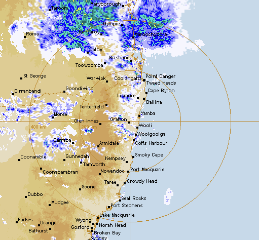
Superintendent (Supt) Scott McLennan from the NSW SES Eastern Zone said we can expect widespread falls of over 100mm over the next 24 to 48 hours.
"We are expecting another rain band to come through tonight, with higher flood warnings and higher rainfall totals. So, we could expect over 100 mm over the next 24 to 48 hours in and around the region, and there could be further dumps as well.
"We're asking people just to take precautions now, while the weather is fairly calm, get your provisions, check your gutters, check your systems, make sure that you know what your emergency plan is. if you have to travel over the next 24 or 48 hours, really revise whether that travel is necessary, particularly as that rain does start to come down tonight."
When asked if Lismore could see the flood level increase from minor to moderate, Supt McLennan said we just have to wait and see what happens with the rainfall.
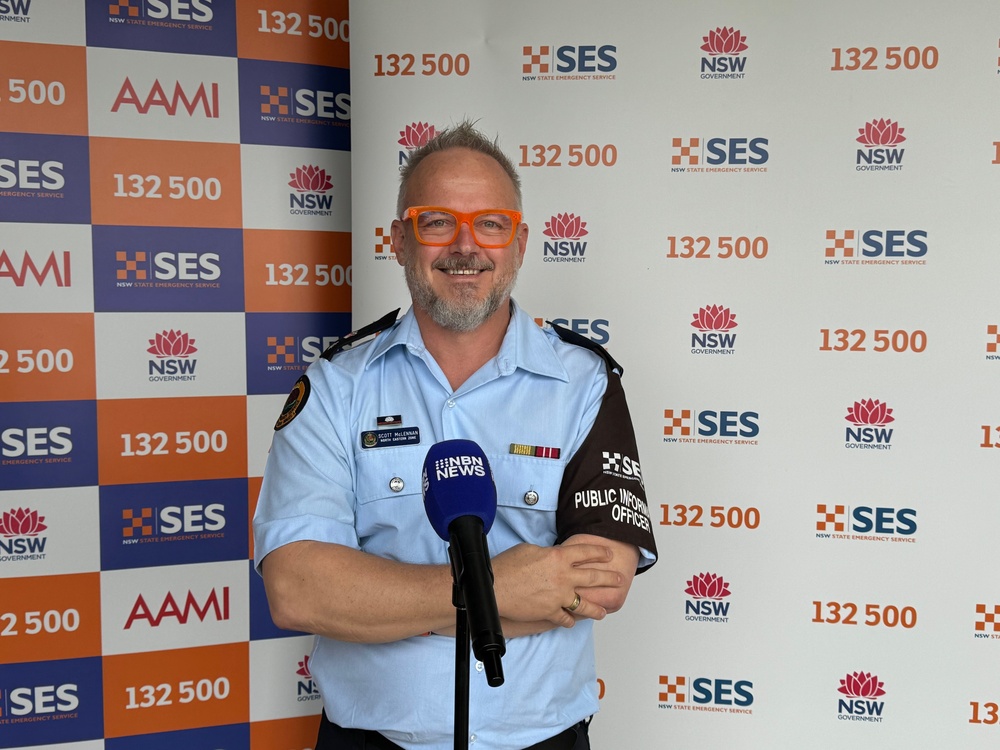
(Supt Scott McLennan addresses the media in Goonellabah earlier today)
"We are watching and watching the gauges and working with our flood wardens right throughout the catchment to ensure that we are capturing as much information as quickly and as successfully as possible," he said.
Depending on where the rain falls, there is a chance of flash flooding this afternoon and tonight.
"The levee is quite strong and successful. The challenge with flash flooding is whether the rain falls inside the levee or outside the levee. We're asking people if they're in and around levee systems. The levy keeps the water out, but when there's rain on the inside of the levee, that's flash flooding. So, really be prepared."
For Lismore, that includes the usual spots like Brewster Street, the Dawson/Woodlark Street roundabout and Pitt Street in North Lismore. In terms of preparation for this event, the NSW SES is working with all their emergency service partners.
"We are establishing and positioning ourselves in our known hot spots to ensure that the community is safe. We're working with the community to ensure that our community action teams, our flood wardens, our news partners, and all of our partners throughout the region are well stocked, well prepared, and are ready for what's coming."
"All of our teams have undertaken significant training right throughout the region. We have more flood techs, more boats, more life jackets. We are very well prepared, as well as our agencies and our partner agencies, and we have been exercising these types of scenarios, positioning us to be in the best position we are today to ensure that community is safe."
A second weather system means more sleepless nights for SES staff and volunteers. They have already participated in 133 incidents in the North Eastern Zone in the last 24 hours. Unfortunately, three of those were flood rescues where vehicles had tried to drive through flood waters.
"Everyone was successfully extricated and were put to safety, which is great," Supt McLennan said, "However, it highlights that people are driving through flood waters, and those three areas are well-known areas, one in Ballina, one in Bexhill, and one in Corndale. It puts not only themselves at risk, their families at risk, but also puts us and our volunteers at risk."
While the weather is calm, Supt McLennan said we should prepare ourselves to prevent being rescued.
"Be prepared. Take action now, clean your gutters, and don't drive through flood water. We're asking people, please, when there's water across the road, do not drive, walk, or play in flood water."
The weather system is expected to pass on Thursday.
The next Bureau of Meteorology flood warning will be released at about 3:30 this afternoon.
"The best way to find out information is to download the Hazards Near Me app and ensure that you have your watch zones adequately set to ensure that you get the most localised consequential information for your location."

