Northern Rivers Resilience Initiative - CSIRO flood mapping update

Lara Leahy
24 July 2024, 9:02 PM
 An aerial view of the LiDAR data across the Northern Rivers region. Topographic LiDAR specifically focuses on mapping land surfaces. In this image the blue colour means high elevation and brown represents low-lying areas. You can see the valleys in the front of the image (which stretch out like fingers) where the rivers form. (Image Credit: CSIRO )
The $11.4 million Northern Rivers Resilience Initiative led by the CSIRO is one of the most detailed flood mapping studies ever undertaken in this country and a first for the Northern Rivers.
The first significant data set using LiDar and Bathymetry, which were used to build a three-dimensional digital surface map of the Northern Rivers region, covering more than 30,000 km², was released to the public on June 28.
The data sets can now be used by local council environmental and engineering consultants using the 2022 flood events. This will help Lismore City Council understand water flow through North Lismore, the CBD and South Lismore.
The aim of the $11.4 million Northern Rivers Resilience Initiative is to help the Australian Government understand the drivers behind the 2022 flood events and ultimately look at flood mitigation options that will, hopefully, take a metre or more off future flood heights.
LiDAR or Light Detection and Ranging data is collected by planes to inform a detailed spatial analysis of the land's surface for the entire Northern Rivers region. Around 16 points per square metre were measured to enable detailed modelling.
River bathymetry, or mapping the river bed, was collected using boats for the Richmond and Tweed rivers and parts of the Brunswick River.
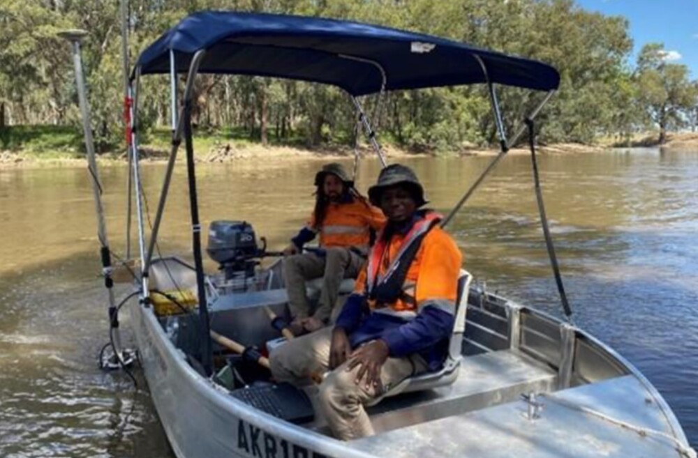
(Collecting Bathymetry data. Image credit: CSIRO)
The CSIRO says, “Such a comprehensive overview of the river systems in the NSW Northern Rivers region will provide an evidence base for future planning, including reducing the impacts of floods.”
This information is freely available to assist councils in matters of;
- land use
- transport and housing planning
- environmental and ecological studies
- hydrological assessments, and
- flood mitigation strategies and plans for the Northern Rivers region.
Using this data, Engeny is currently completing the Lismore Flood Risk Management Plan for Lismore City Council.
A spokesperson for the Lismore City Council said, “The release of the CSIRO’s updated LIDAR information will allow Council to undertake additional flood modelling for the entire Lismore LGA. At the moment, the model is limited to the urban area, as this was the extent of LIDAR information.”
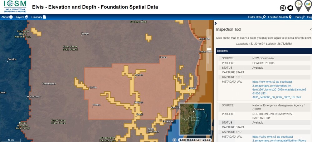
(The mapping)
Kelsey Mundt, Principle Engineer at Engeny said, “Extensive, accurate, and recent LiDAR data is crucial to flood studies and flood risk management. It enables us to understand fully the current risk experienced by the community and to model potential mitigation projects that can reduce that flood risk.
“The current datasets are incredibly accurate and fairly recent. However, the latest dataset will cover a broader extent of the Lismore catchment than the previous, which could potentially lead in the future to an extension of understanding flood risk experienced by a larger subset of the community.”
The next phase of the strategy is to provide a detailed hydrodynamic model (HD) for the Richmond River catchment. The HD will represent water flows over 7000km².
The CSIRO says, “The model aims to represent the key hydrological (water flow) processes related to flooding across the catchment and will be able to reproduce the past flooding history in the catchment.
“Once completed, the model can be used to investigate the changes in flooding associated with changed climate, and structural and non-structural infrastructure options designed to mitigate flooding.
“The model design is based on detailed spatial representation of the catchment’s biophysical characteristics such as soils (infiltration rates, soil storage capacity, etc) and landscapes (roughness, flow paths, flow direction, structures, vegetation, etc.).
The models, and information on how to access and use them can be found here.
The Lismore Flood Risk Management Committee is meeting at 1:30pm today with a presentation by lead CSIRO scientist Jai Vaze and an update from the NSW Reconstruction Authority.

