Above average rainfall is BoM forecast for November

Simon Mumford
30 October 2025, 7:58 PM
Spring 2025 has provided such a mixed bag of weather.
September was dry; only 14mm of rain fell at the Lismore airport. The water table actually moved to 'Below Average' for the first time in years.
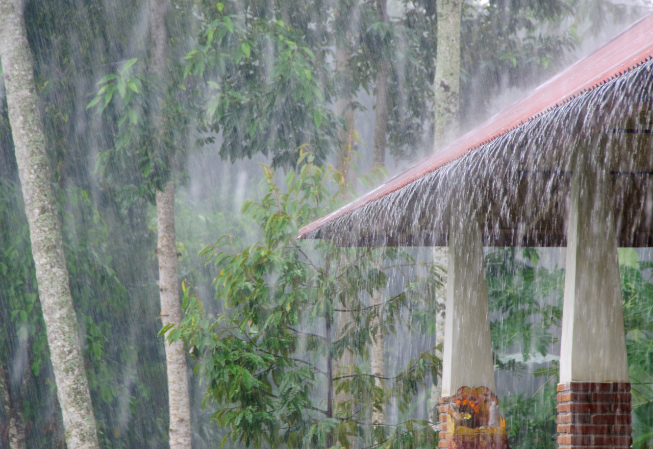
The water table remained below average even after 106.8mm fell in October (with one day to go), 69.6mm of that fell on Wednesday.
The Bureau of Meteorology has released its long-term forecast; wet and warm weather is on the cards, as you would expect at this time of year.
November has a 57% chance of above median rainfall (greater than 104.4mm) and a 23% chance of an unusually wet (greater than 174.1mm).
The odds are high that we will experience a warmer median temperature (greater than 27.1 degrees), that is 71%, with a 26% chance of an unusually warm month (greater than 28.4 degrees).
For the next three months, it is a similar forecast.
Above median rainfall (greater than 397.2mm) is at 61%, while an unusually wet (greater than 572.3mm) for November, December and January is at 24%.
Temperatures should be hot, with 68% saying above median (greater than 28.1 degrees), but the unusually warm percentage drops to 19% (greater than 29.1 degrees).
You could sum that up by saying we will experience more of the same weather as we have had in the last week.
As for this weekend's forecast, "Partly cloudy. Very high chance of showers, most likely in the afternoon and early evening. A thunderstorm likely, possibly severe with damaging winds, large hail and heavy rain, which may lead to flash flooding," is what the BoM is saying on their new website for Saturday.
The range of rainfall is 1 to 20mm, so it will be hit and miss. It all depends on how lucky or unlucky you are.
Sunday is a possible show or storm, with 0-2mm on the cards.
If you are waiting for those warm sunny days to return, mark Wednesday on your calendar at this stage.

